Pittsburgh Dry Stretch Hits 15 Days as Warmth Holds Through Weekend
High pressure that has sat over the region since October 17 may break down by Thursday, bringing the first measurable rain in weeks.
By Kwame Barrett ·
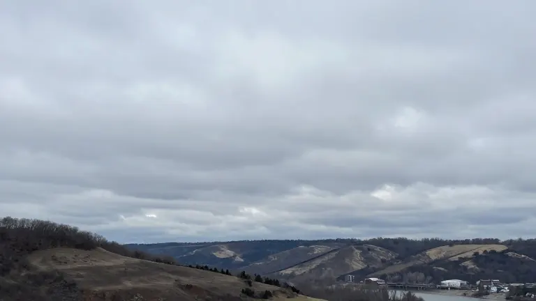
A dry spell across the Pittsburgh metro area reached 15 days by the end of Oct. 31, and high pressure is keeping the run going into the weekend. Calm winds and cool air settled over the region Friday morning, with temperatures in the mid-30s outside the city and the lower 40s inside Pittsburgh's urban heat island.
Cloud cover will build from the Midwest and Plains through the weekend as upper-level winds carry cloud tops east. Those clouds sit above a very dry lower atmosphere, so no precipitation is expected through Sunday. Friday's high will reach the lower 60s. Winds turn southerly Sunday, pulling warmer air north, and daytime highs climb into the mid to upper 60s.
The warmest days are Tuesday and Wednesday, with highs in the low 70s, running 15 to 20 degrees above normal for late October.
The high pressure system that has held over the region since Oct. 17 may start to break down Thursday into Friday. A system off the US West Coast is moving east on a strengthening Pacific jet stream, and most modeling places it over the area Thursday, with a possible second wave Friday. Rainfall totals look light, but the dry stretch would end.
No major cold air outbreak is in the forecast. The strengthening Pacific jet stream is pushing mild air across the US for the next couple of weeks.
Source: KCNC-TV