Warmth Fades Before Major Storm
Southern Colorado enjoys a dry, mild stretch through Thursday, but a Pacific trough brings snow and cold starting Sunday.
By Enzo Almasi ·
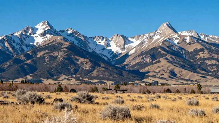
Southern Colorado is currently experiencing temperatures that are well above the seasonal average, a trend forecasters expect to persist through Thursday. The region faces a stark shift in weather patterns by the weekend, ending the current period of quiet skies and mild air. This dry spell provides a temporary respite before a more volatile system arrives.
In Pueblo, Wednesday offers another warm afternoon with highs reaching the lower 70s and lows near 40 degrees. Residents can expect sunshine interspersed with mid-level clouds. The area should remain completely dry through Thursday. Similar conditions are projected for Canon City, where temperatures will hit the lower 70s with a low of 41. A light southwesterly breeze is anticipated to develop in the afternoon.
Colorado Springs is set to see a high of 68 and a low of 40. The Pikes Peak region will feature a mix of sun and passing clouds, accompanied by light afternoon breezes. Higher up in Woodland Park, the forecast calls for a high around 60 degrees and a low of 32. While the weather remains pleasant with sun and clouds, breezier conditions are expected over the higher peaks.
Overnight conditions on Wednesday will stay calm under mostly clear to partly cloudy skies. Lows across lower elevations and high mountain valleys should fall into the 30s, while parts of the eastern plains may hover near 40 degrees. The warm spell is projected to hold through Thursday, keeping highs in the 60s and 70s at lower elevations.
Subtropical moisture is forecast to move in on Friday, bringing scattered rain showers to the mountains. A slight chance of a stray shower exists for far southeast Colorado. Saturday should remain mostly quiet under a weak ridge, with mild temperatures and only isolated showers over higher terrain.
The weather turns dramatic from Sunday through Tuesday as a sharp upper-level trough drops in from the Pacific Northwest. This system will bring a major storm to the region, resulting in accumulating snow in the mountains and much colder temperatures. Rain and snow showers could wrap around onto the eastern plains into early next week. Winds are forecast to increase late in the weekend and continue through the following week.
Source: KOAA News5