
Shortwave brings brief rain and snow to Southern Colorado this evening
A passing system will deliver light precipitation to the Front Range and mountains before clearing out by Thursday morning.
By Chiara Saeed ·
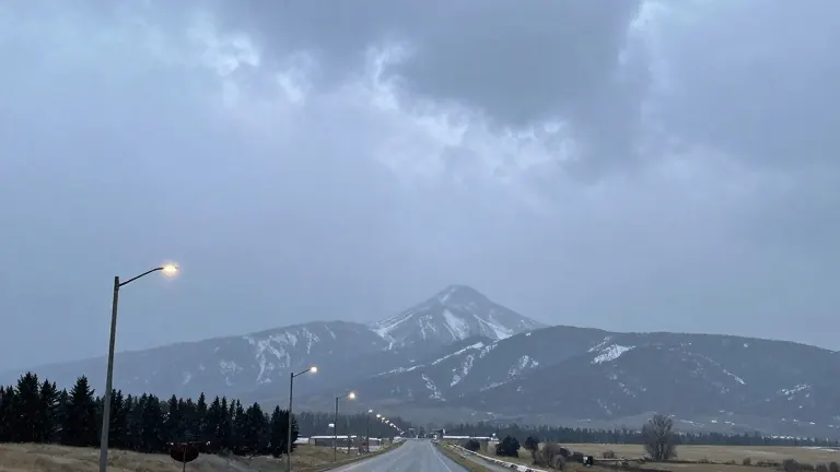
A shortwave trough is moving through southern Colorado this Wednesday, bringing a brief window of rain and snow that will largely clear by Thursday morning.
The weather pattern began with sunshine and cloud cover developing throughout the day. Moisture levels are rising as the system approaches from the west. This activity is isolated to the current weather event and will not persist into the next few days.
The timeline for this weather system started this morning with temperatures in the mid-30s across the region. By late afternoon, rain chances increased around 4 p.m. near Monument. The precipitation moved southward along Interstate 25 throughout the evening. In Teller County, temperatures dropped enough to shift the precipitation type from rain to snow. Pavement temperatures in Woodland Park remained above freezing until early Thursday morning, which limited snow accumulation on roads.
Specific impacts varied by location. Colorado Springs saw afternoon highs in the 50s with a low of 33. The city experienced showers on the north side of El Paso County, while snow remained unlikely. If a transition to snow occurred, it was confined to the northern parts of the town. Grassy surfaces may have received a trace of snowfall.
Pueblo and Canon City faced similar conditions with highs in the upper 50s. Rain chances increased around dinner time in Pueblo. Temperatures were too warm for snow in these lower elevation areas. The moisture moved out overnight, leaving clear skies for Thursday morning. In Canon City, rain chances peaked in the evening and lasted into the overnight hours before departing.
Higher elevations saw more substantial changes. Woodland Park recorded a high of 48 and a low of 25. The area received between 0 and 2 inches of snow accumulation. The Tri-Lakes region, including Monument, saw highs in the lower 50s. Showers began around 4 p.m. and pushed south toward Colorado Springs. These rain chances ended by the overnight hours.
The eastern plains, including areas along Highway 50, received moisture in the late afternoon. Rain continued into the evening and pushed southeast by Thursday morning. A few light showers may linger over Baca County early Thursday. Walsenburg and Trinidad saw highs in the mid-to-upper 50s. Rain chances increased in the evening, with some snow showers possible on higher terrain and wet mountains.
Winter weather advisories are in effect for the central mountains and Pikes Peak. Snow showers stretch across these mountain regions throughout the day. Some areas may experience heavy snow at times. A couple of inches of snow is possible in the central mountains and parts of Teller County.
Thursday morning may feature slick spots in portions of Teller County, which should clear later in the day. Afternoon temperatures on Thursday will reach the 40s and 50s. The rest of the week will follow a similar temperature pattern. Warmer and dry conditions return for the weekend. Next week begins with a warm start, with some areas along Interstate 25 approaching 70 degrees in the afternoon.
Source: KOAA News5